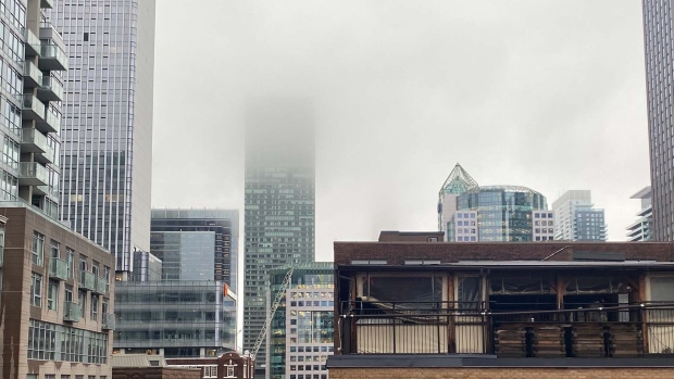
Toronto’s weather may take a turn for the worse Wednesday night as rainfall is expected to transition to wet snow as temperatures cool.
Despite the rain being heavy at times throughout the day, the snow fall expected will not be a significant amounts, Environment Canada reported in a statement on Wednesday afternoon.
Toronto can expect about two centimetres of snow locally later today as the temperature drops to a low of 1 C.
While the rain has been manageable, the temperature drop and snowfall could lead to issues with traffic, University of Waterloo Meteorologist Frank Seglenieks told CP24 on Wednesday afternoon.

“Most of the problems associated with it are going to be from the wet heavy snow falling later on today and into tomorrow,” he said. “That’s just going to cause a lot of chaos as far as traffic goes.”
Winds, which gusted up to 80 kilometres an hour earlier in the day, are expected to ease by Wednesday evening. Several Toronto hospitals under the University Health Network faced a system outage Wednesday morning due to the weather and strong winds.
While the winds will die down, Seglenieks noted that much of the weather problems in the region will be instead due to the wet snow and rain over the next 24 hours.
The Toronto Police Service has warned residents to stay away from rivers, streams and shorelines, which are at risk of flooding.
WEATHER WARNING:
City of Toronto
-Environment Canada warns of heavy rains & winds
-25-40 mm of rain expected
-winds gusting to 80 km/hr in the morning hours
-drive according to conditions
-people advised to stay away from rivers, streams, shorelines
-risk of flooding
^lm— Toronto Police Operations (@TPSOperations) April 3, 2024
There is a 40 per cent chance of flurries and rain showers Thursday morning and temperatures are expected to hit around 3 C.
The precipitation is forecast to continue until the weekend, with the sun finally peeking out on Saturday. Temperatures are expected to hit the double digits at this point.
Seglenieks noted that this may the last blast of wintery weather in the region.
“Certainly winter storms and snow accumulation can still happen in April and even into late April so we’re not past that hump yet,” he said.
“But it could be the last real blast of winter that we’ll see this year … for the next couple of weeks it looks like it is going to be getting more towards the spring side of the temperatures.”


